
RIVER STOUR
The River Guide
This section contains important information about approaching the River Stour at Sandwich. It has been split into sections for easy reference, but we highly recommend that you read all sections prior to your journey.
Speed Limit
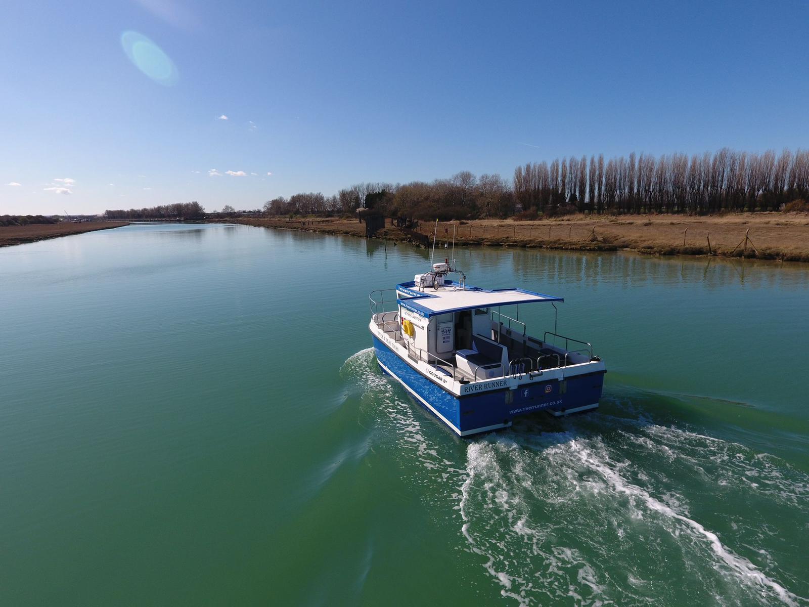
There is an 8 knot through-the-water speed limit on the river.
Please be sensitive to your wash – as many of the boats you will pass are liveaboards.
This Chartlet is kindly provided by Robert Holden who runs a historic yacht out of the Stour. Please note that it is supplied only as a guide and no liability whatsoever is accepted for inaccuracies caused by shifting sand/mud banks, or marks blown off station in gales.

Sandwich Bridge Opening
The swing bridge is operated 24/7 365 days a year, with just 1 hour notice.
Call 01843 585624.
VHF Ch8.
Navigation advice
Approaching the River
We recommend approaching the river in settled conditions, during daylight hours, if conditions are at all marginal we would suggest berthing in Ramsgate (24hr access, VHF Ch14), until weather/light/tides are suitable. Please feel free to call the harbourmaster for advice – Ian 07463 721714. Arriving at the fairway buoy one hour before HW Sandwich Quay is ideal as the run up to the town will take about 3/4hr (see note below on tidal flow in the town).
The River Entrance
Nearby Boatyards
Tides
Contacting the Harbour Master
The Harbour Master, Mr Ian Broughton, can be contacted on Ian 07463 721714.
VHF Channel
VHF Ch8 is used on the Stour for all boat movements and general communication, but please note there is no full time listening watch, contact would need to be made initially by phone for harbourmaster, boatyards, or bridge.
Important Navigation Advice
Heading Upstream
 Heading upstream, take note of the port hand mark once round Back Sand Point, this keeps you away from some very large submerged concrete pipes to the South.
In the ‘Upstream Winding Hole’ we can swing up to 85ft boats.
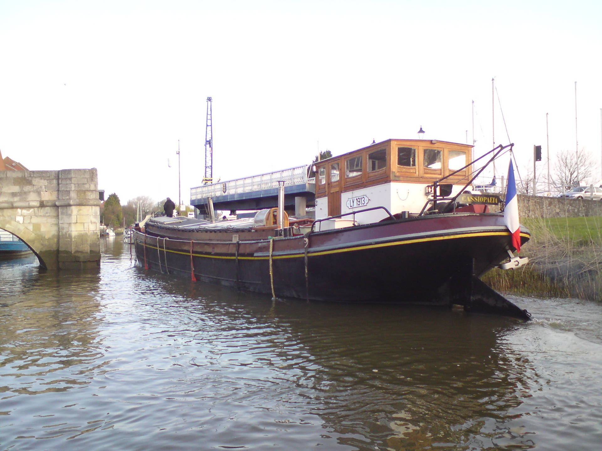
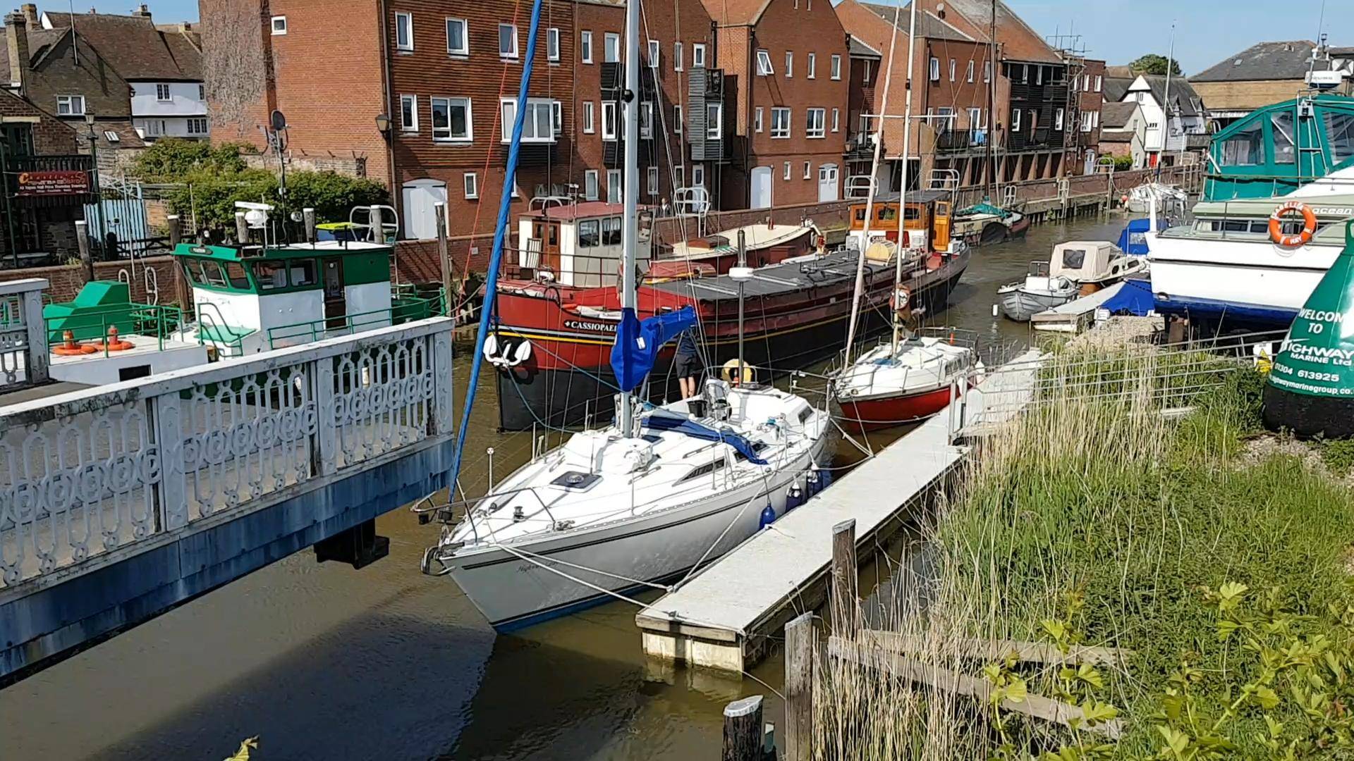
Mooring
As you arrive in the town you will see white capped timber fenders running along the quayside, you can lay here. This is a public quay and vessels of any size will find space to moor (contact Dover District Council for berthing). Toilet and shower facilities are available between 0900 – 1700. Note, the upstream end of the quay has deeper water (near the naval gunboat), 1.5m of water can be found here at LW, whereas the downstream end of the quay almost dries.